
Walking The Light: Journeys Linking Beacons By The Sea
Step into practical adventure as we map itineraries and logistics for multi-day walks between coastal lighthouses, weaving reliable route planning, tide timing, transport links, lodging strategies, resupply tactics, and safety know‑how into one confident guide. Expect vivid shoreline stories, transparent decision points, and friendly prompts inviting your questions, shared experiences, and feedback for ever-brighter, better-connected walks.
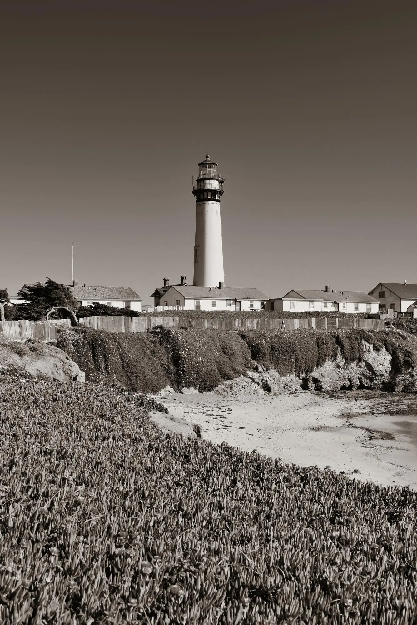
Choosing A Coastline And Stringing The Beacons
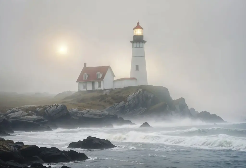
Begin by sketching a coastline where lighthouses sit within humane daily distances, paths are legally walkable, and transport lets you reach starts and exits without stress. Prioritize sections that blend cliff paths, beaches, and small harbors, letting beacons become milestones, morale markers, and navigation anchors you can genuinely count on in changing weather and light.
Tides, Weather, And Windows Of Safety
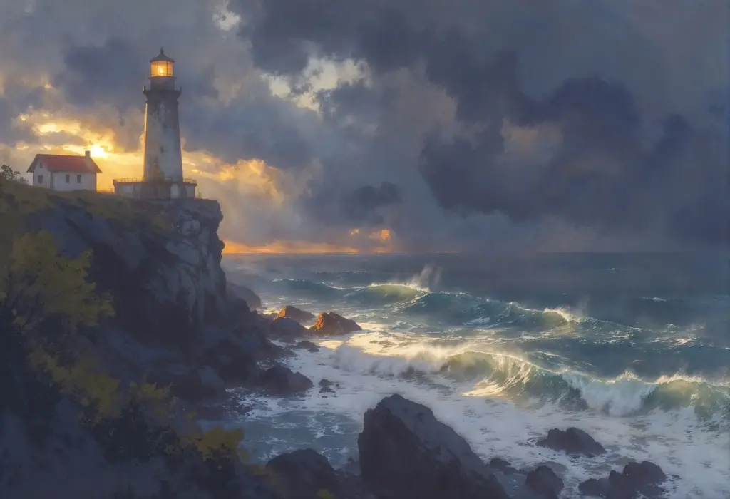
Coastal days are choreographed by sea moods. Use tide tables, swell forecasts, and wind predictions to decide beach traverses, cliff alternatives, and cutoff times at river mouths. Build breathing room around risky sections, schedule snack breaks before exposed traverses, and treat lighthouses as visual checks on progress, not deadlines, keeping decisions anchored in safety rather than optimism or bravado.
Digital Tools With Offline Backups
Download offline basemaps, GPX segments between lighthouses, and local hazard overlays. Airplane mode protects battery, yet emergency calls may still function. Organize waypoints by day, include sunrise and sunset times, and label tide-critical points in bold. A tiny solar panel or power bank turns multi-day uncertainty into reliable progress, especially when clouds and sea spray conspire against electronics.
Paper Maps And Annotated Checkpoints
Folded maps never crash, and margin notes become quiet companions. Circle freshwater sources, sheltered lunch rocks, and promising viewpoints near each beacon. Pencil in contingency routes, ferry hours, and last buses. If fog erases horizon lines, compass bearings across short, safe sections guide you home, while lighthouse bearings and audible fog signals reinforce confidence during cautious, well-timed traverses.
Hazard Marking And Nightfall Protocols
Flag slippery kelp slabs, loose steps, and eroded cliff edges with visible symbols on both digital and paper plans. Decide absolute cutoffs for committing terrain before dusk. If darkness arrives, prioritize firm surfaces, reflective details, and simple handrails. Keep a headlamp with spare batteries accessible, and train companions in concise signals, ensuring the next light you see brings reassurance, not risk.
Packing Smart For Salt And Spray
Sea air is generous with beauty and relentless with gear. Protect essentials in dry bags, choose quick-drying fabrics, and prevent chafe with disciplined layering. Prepare for sun, mist, and sudden chill within a single, short hour. A lighthouse daypack feels light yet holds warmth, calories, and kindness for feet that must carry you onto tomorrow’s beacon with a smile.
Sleep, Resupply, And Coastal Community Support
A graceful itinerary connects beds, meals, and kindness. Book small inns or hostels near harbors, note campsite opening dates, and support local bakeries that brighten early starts. Confirm breakfast times align with ferry departures, and mark grocery windows on Sundays. Coastal communities anchor your progress, turning distant beacons into shared stories rather than solitary, logistical puzzles endured in silence.
Sample Multi-Day Route Blueprint And Community Invitation
Use this adaptable structure to link three to five lighthouses over three nights, embracing tides, transport, and comfort without sacrificing spontaneity. Treat it as a friendly scaffold, then personalize distances, ferry timings, and rest days. Afterward, share your notes, corrections, and triumphs, helping fellow walkers refine connections so more journeys arrive smiling beneath calm, reassuring beams at dusk.
All Rights Reserved.